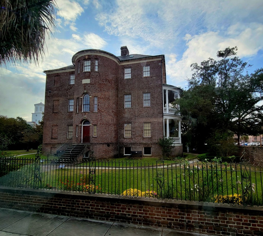
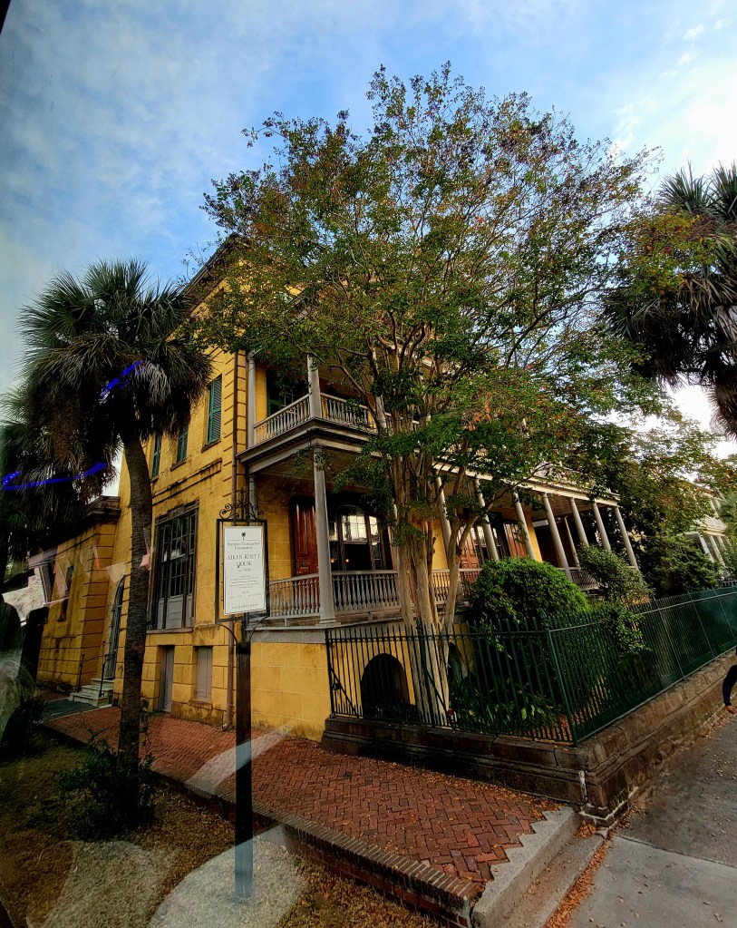
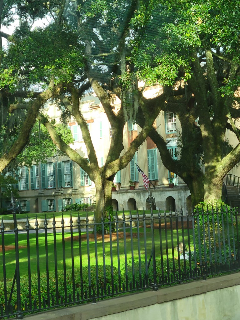
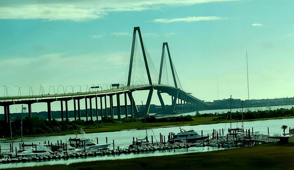
Charleston, South Carolina
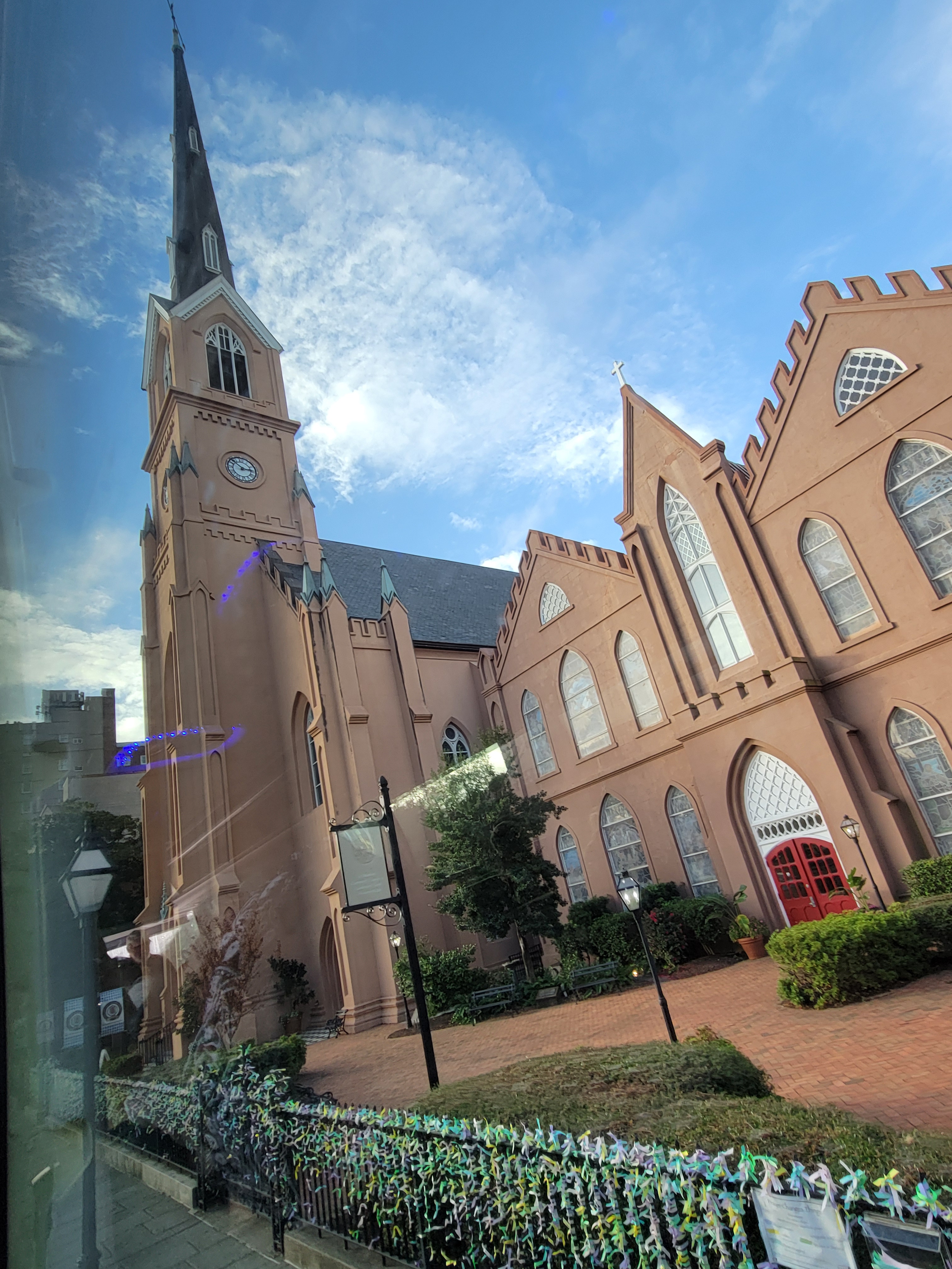
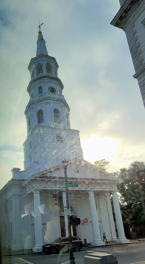
The area is often called the Lowcountry. The highest point is only 20 feet above sea level. The land by the Ashley River was a gift from King Charles to eight of his friends in 1663 known as Charles Town. It was inhabited by English, French, Spanish, Indians and Pirates. in 1719 it became Charlestown and was the southernmost point of the south colonies. The wetlands were not good for growing tobacco, but the Gullah knew of a different crop, and it became the wealthiest city on the Eastern coastline due to their rice export. It was also the main port of the African slave trade. Today their biggest export is the BMW automobile. Today there are 400+ churches in Charleston area.


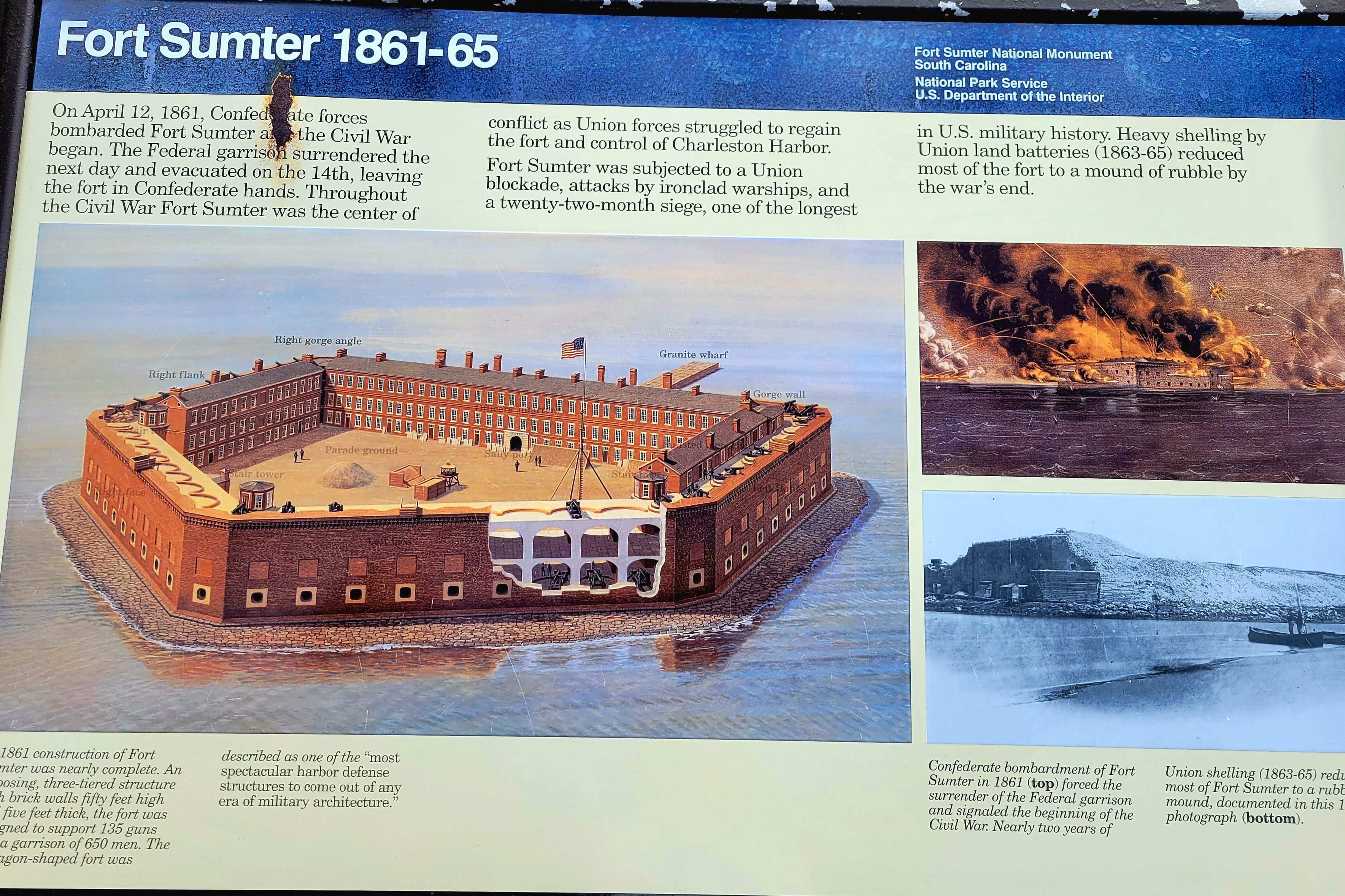
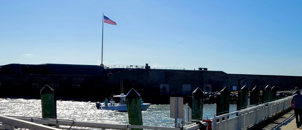
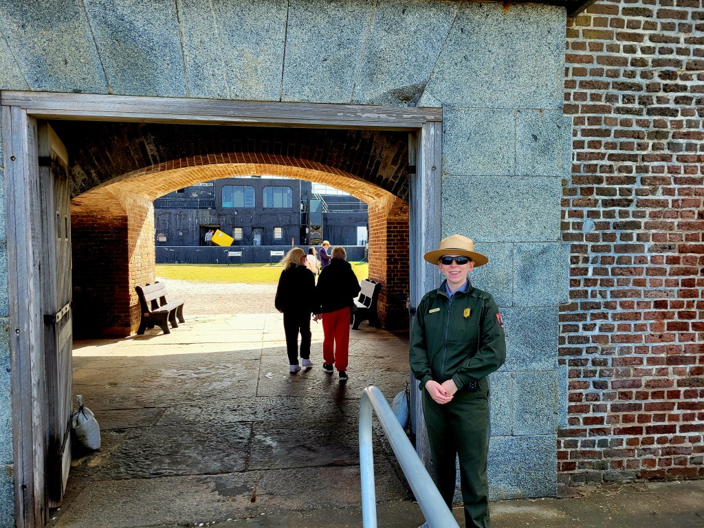
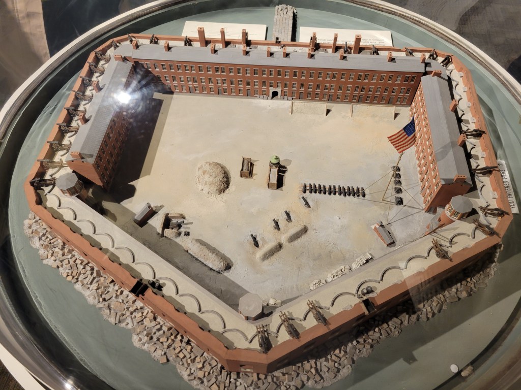
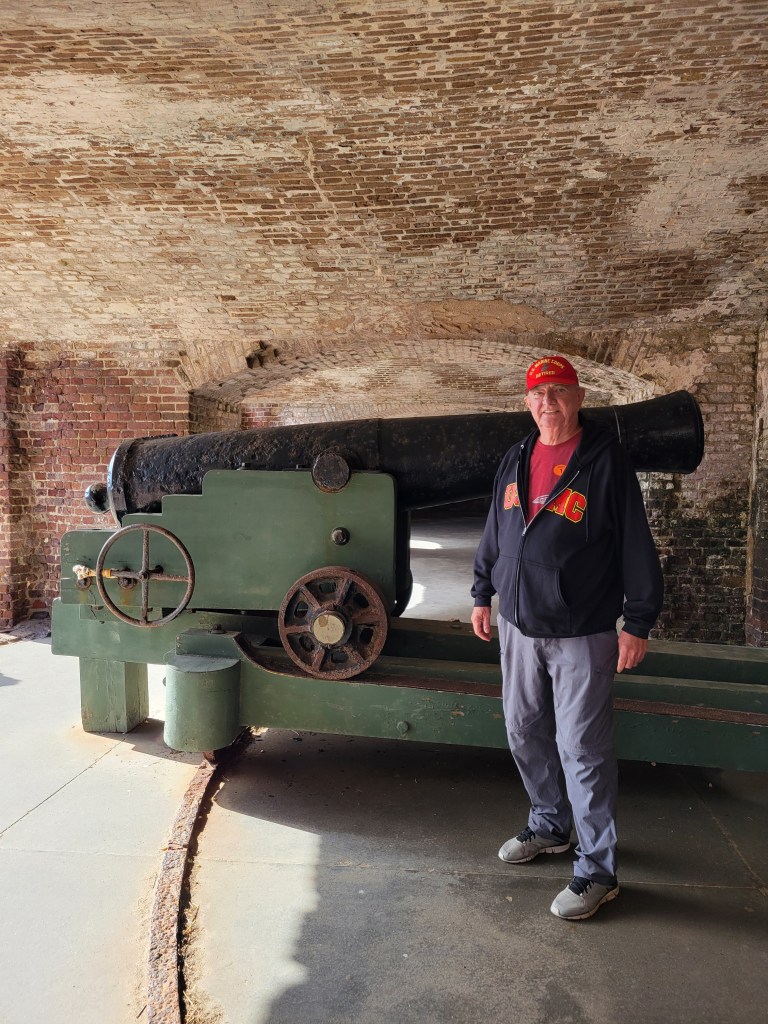
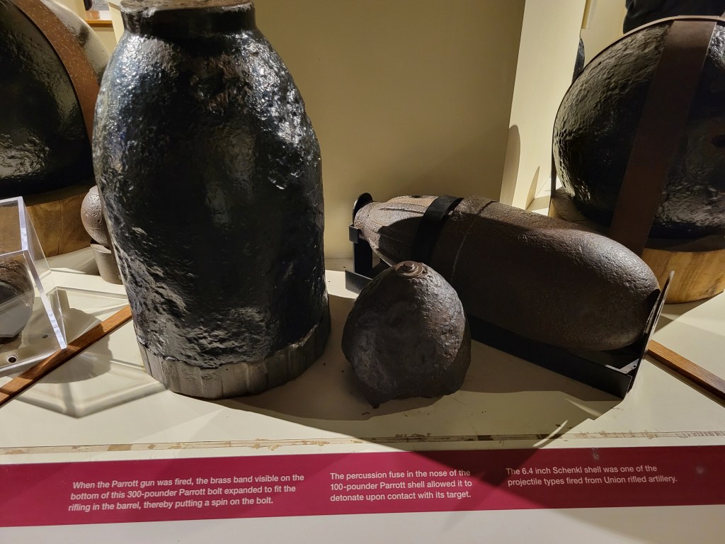
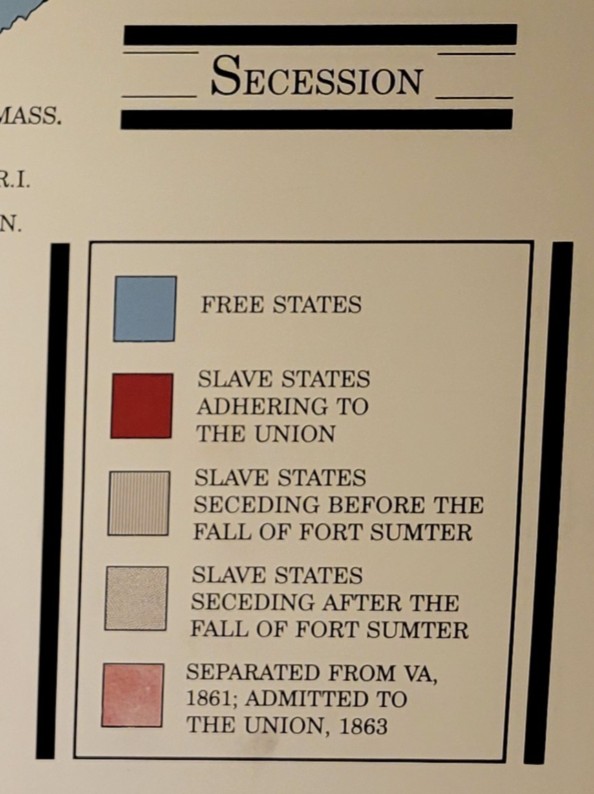
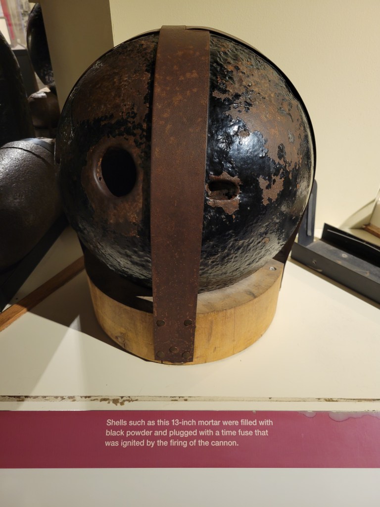
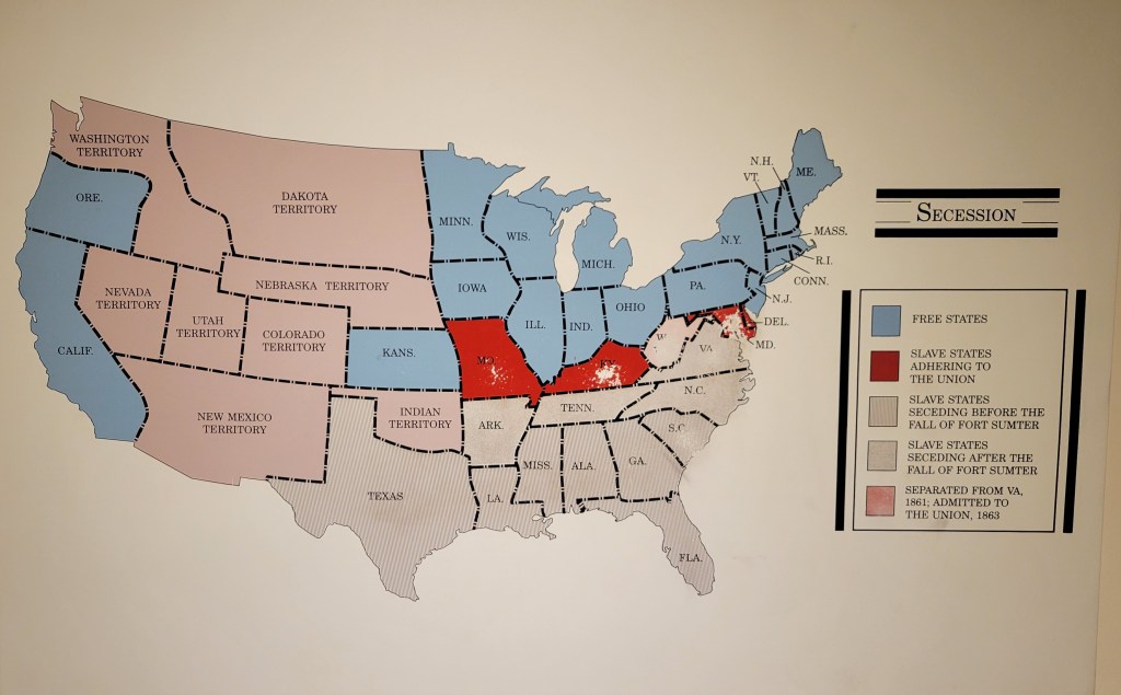
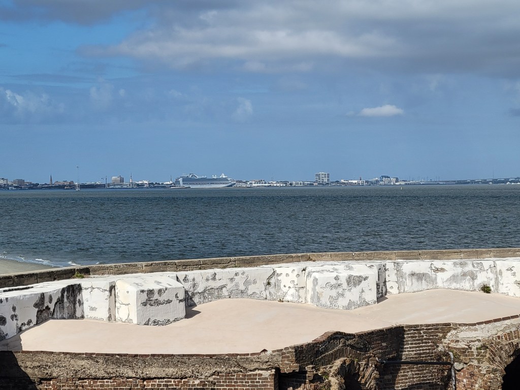
Fort Sumter was built on an artificial island to protect the US from the British during the War of 1812. It is a 5-sided, brick walled fort. Walls were 5 foot thick and between 170 – 190 feet long and 50 feet over the low-tide mark. It was never completed. The massive amounts of bricks needed to complete the fort were made in 3 Charleston locations by slaves. On December 17, 1836, South Carolina ceded Fort Sumter to the United States (It was too costly to maintain it). On April 12, 1861, the South Carolina militia fired on the Union Fort Sumter from the shore of Charleston. It was the first shot of the Civil War. The “battle” lasted 34 hours, when the Union surrendered the Fort, lowered their flag, and left. The second battle was September 8, 1863, when the Union tried to retake the fort. The fort was left in rubble, but remained in Confederate control until it was evacuated in February 1865 as Sherman was in South Carolina. There was an “End of the War” celebration at Fort Sumter on April 14, 1865 and Major-General Robert Anderson, the same officer who took down the flag in 1861, came back and raised the same flag back over Fort Sumter. Ironically, that was the same day President Lincoln was assassinated. In 1947 it was taken over the National Park Service.


Leave a comment