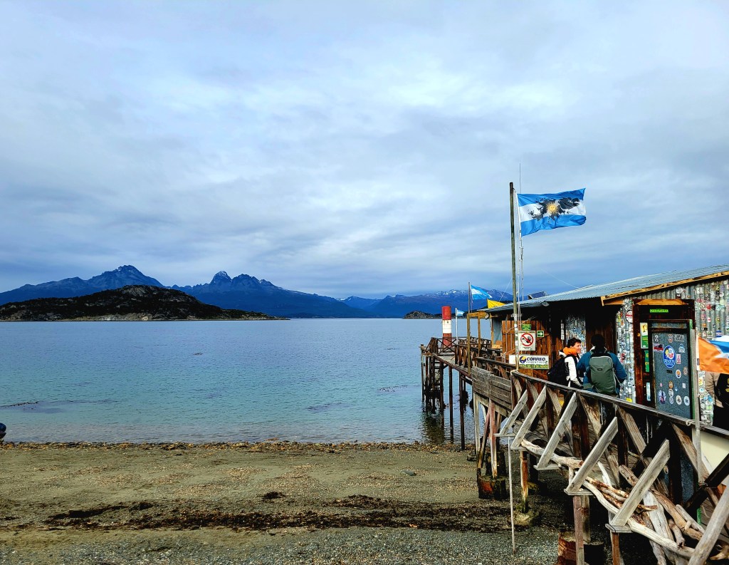
Ushuaia, Argentina
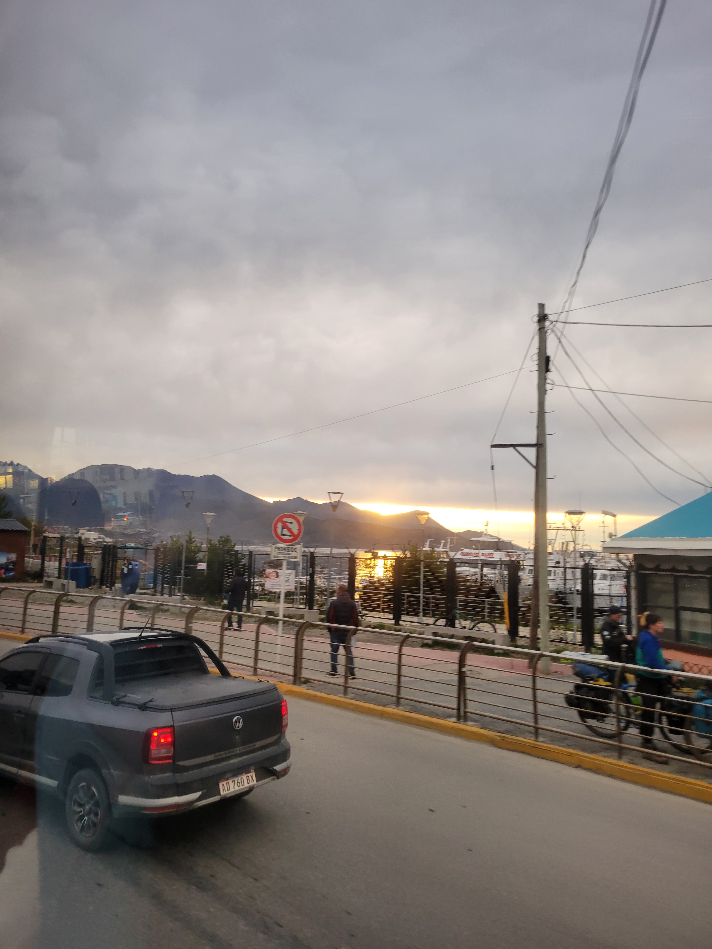
Ushuaia is a resort town in Argentina. It’s located on the Tierra del Fuego archipelago, the southernmost tip of South America, nicknamed the “End of the World.” The windswept town, perched on a steep hill, is surrounded by the Martial Mountains and the Beagle Channel. It’s the gateway to Antarctica cruises and tours to nearby Isla Yécapasela, known as “Penguin Island” for its penguin colonies.
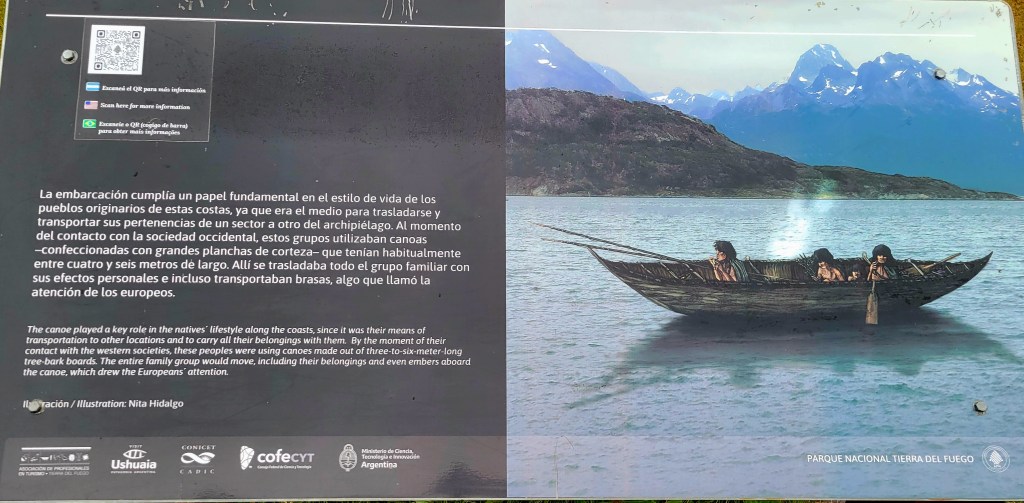
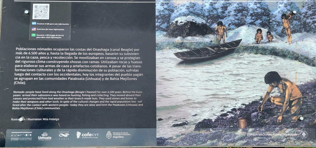
The archipelago was discovered by the navigator Ferdinard Magellan in 1520, when he sailed through the strait named after him and called the region Tierra del Fuego (Land of Fire). Various navigators traversed the area, but no systematic exploration was attempted until the British Admiralty undertook a thorough survey of the entire archipelago between 1826 and 1836. For 350 years after Magellan’s voyage, the region was left in the undisputed occupation of its indigenous peoples, the Ona , and Alacaluf Indians, but after 1880 colonization by Chilean and Argentine nationals was sparked by the introduction of sheep farming and the discovery of gold. The discovery of petroleim at Manantiales in 1945 converted the northern part of Tierra del Fuego into Chile’s only oil field. Pipelines have been laid to the Strait of Magellan for export of the oil to middle Chile, drilling platforms have been built in the Strait of Magellan, and a small refinery meets local needs.
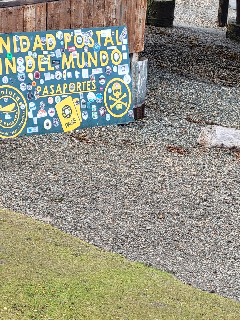
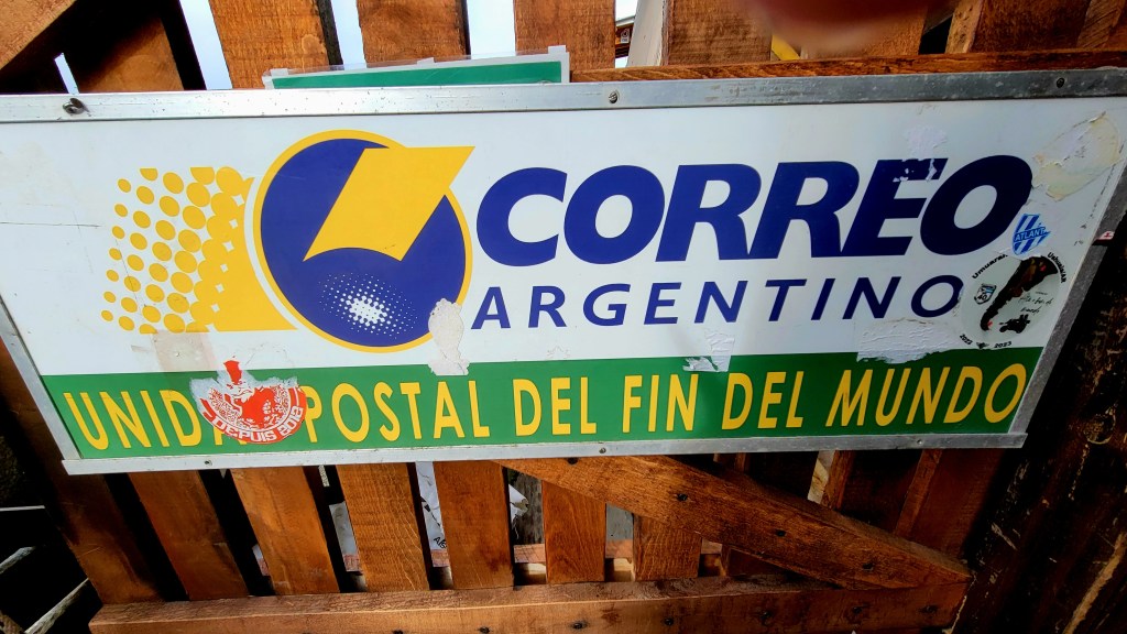
Ushuaia was originally a penal colony, but Argentina stopped using it as such in 1970. In 1980 the government started offering benefits if people would come and settle here. One was it would be tax free. An airport was added in 1997. Today there are about 1,000 people living here.
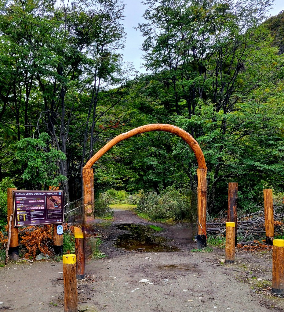
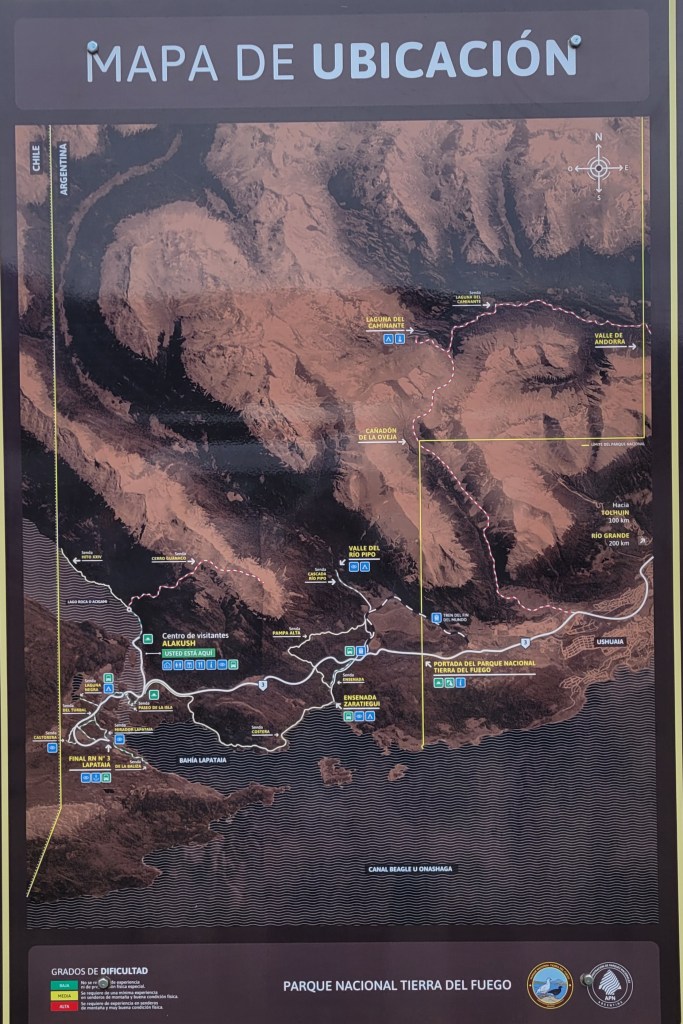
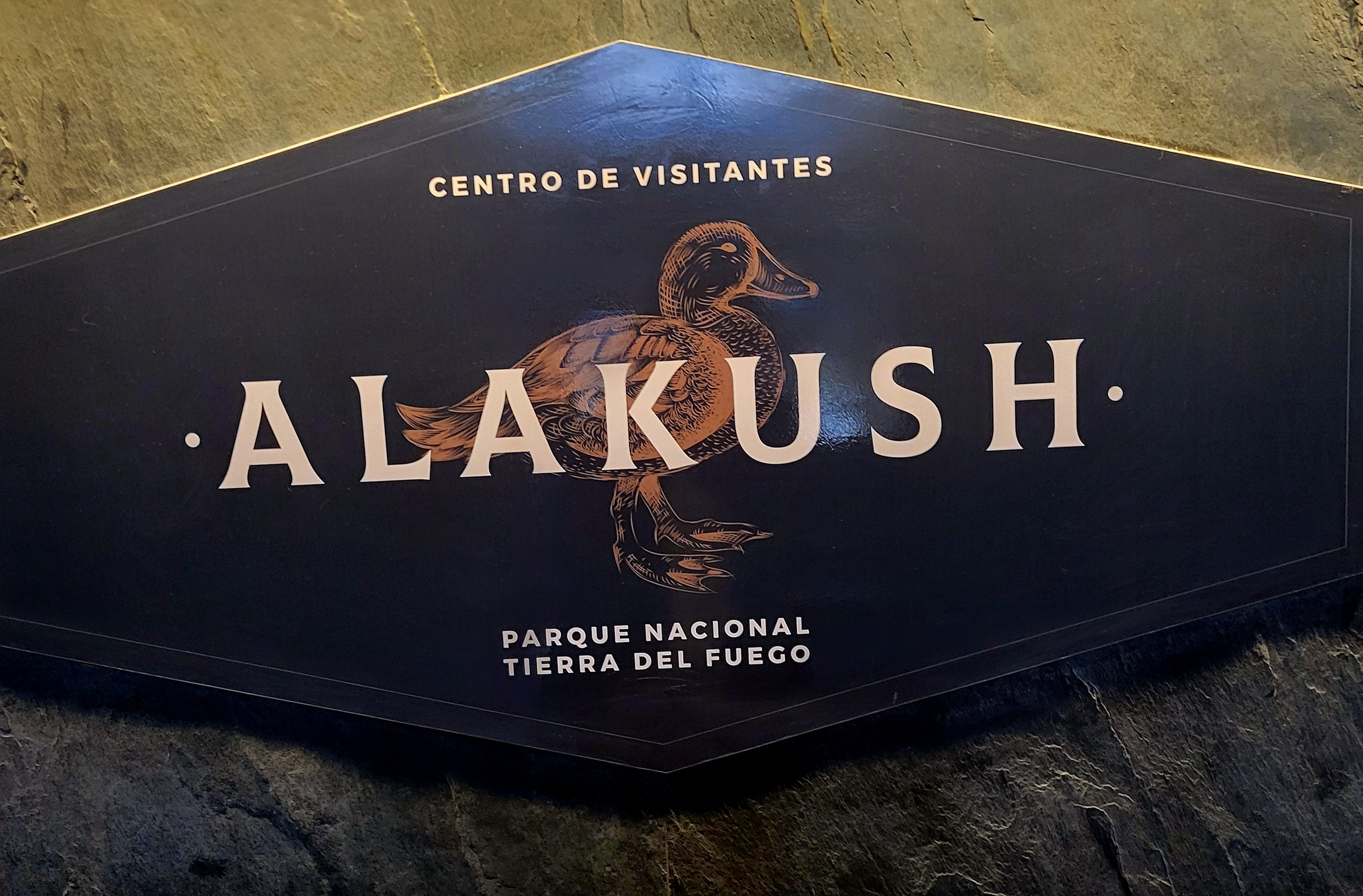
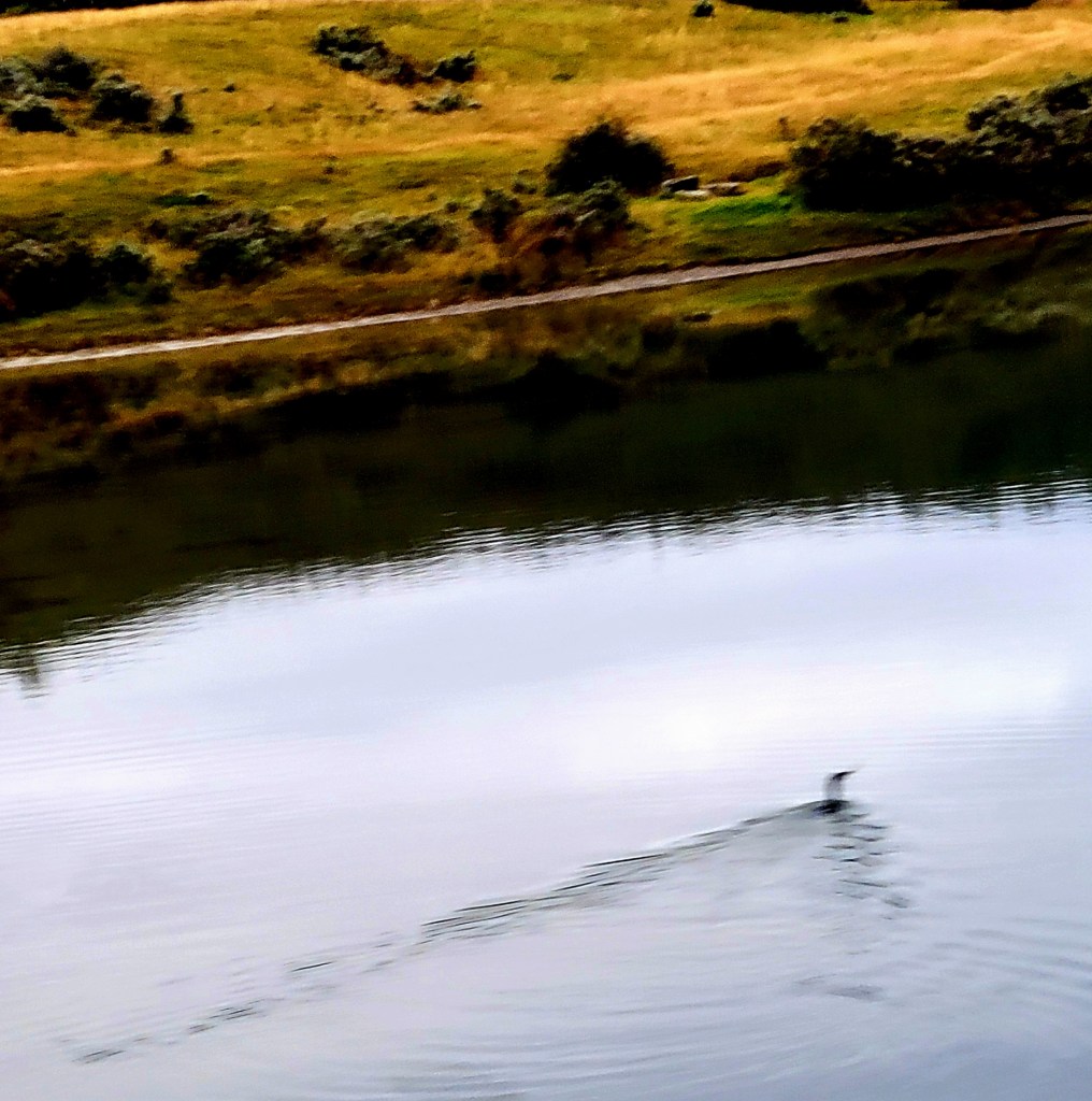
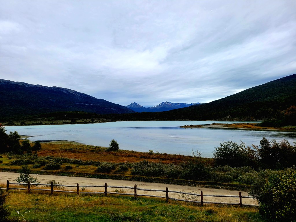
To reach Tierra del Fuego National Park, we passed through some of Ushuaia’s suburbs and crossed the Pipo River Valley. This National Park was created to protect the southern portion of the sub-Antarctic forest. Today, visitors can enjoy the Andes and the region’s forests, rivers, lakes and peat bogs. It is also home to a large variety of birds.
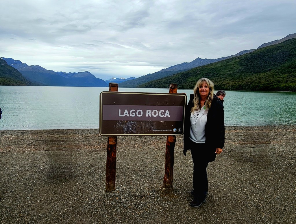
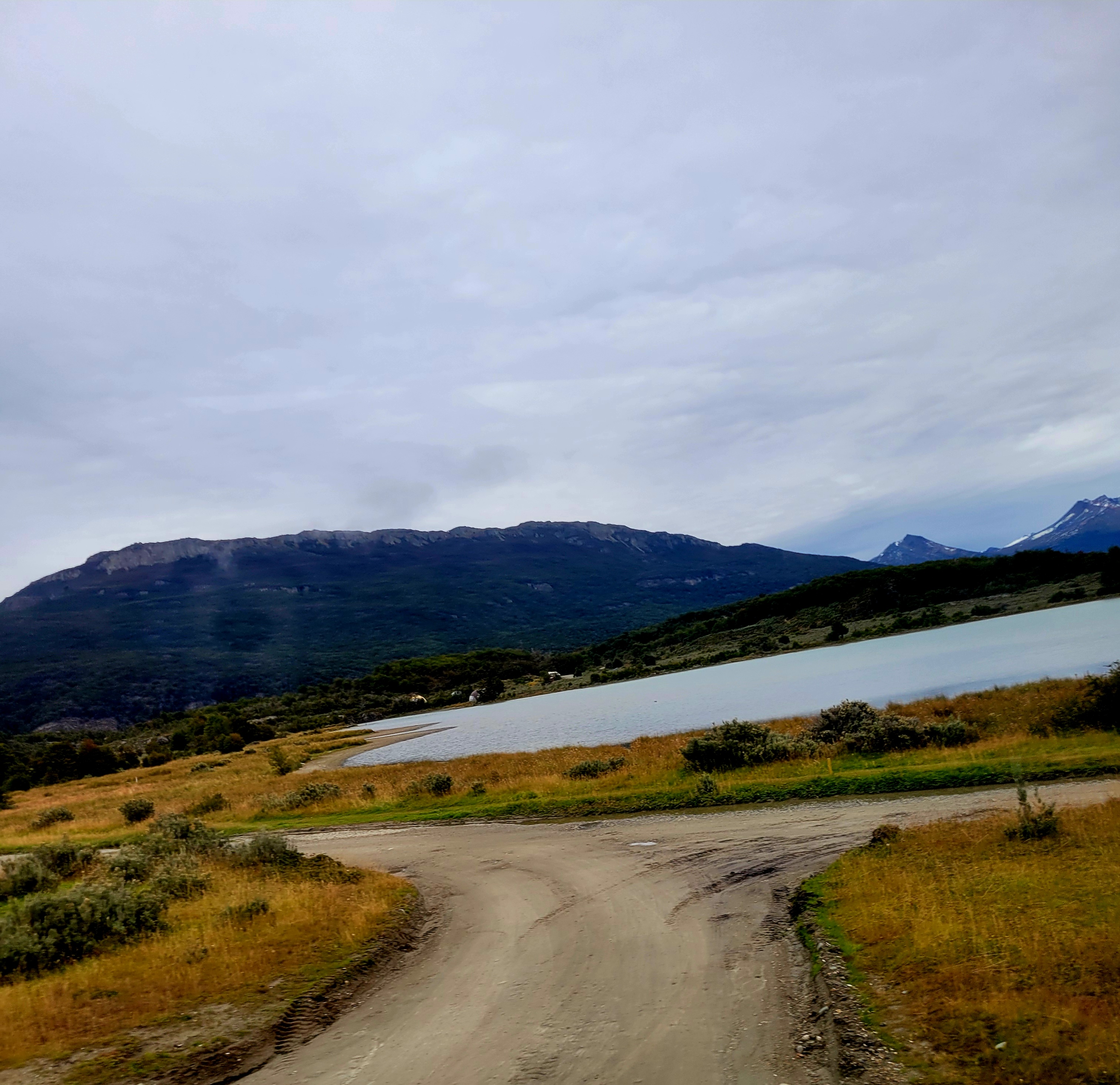
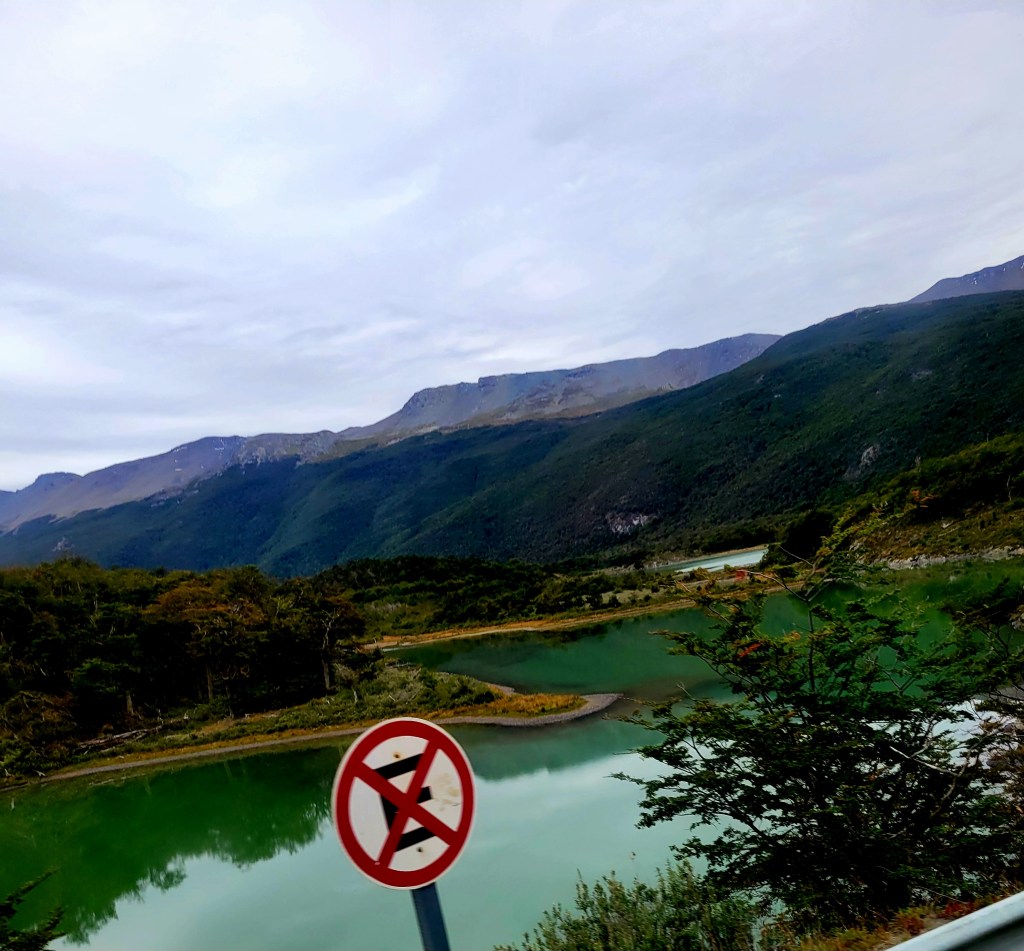
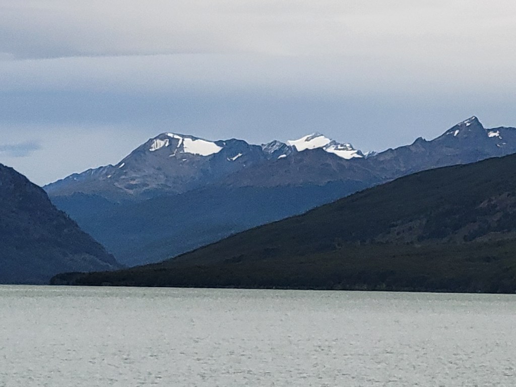
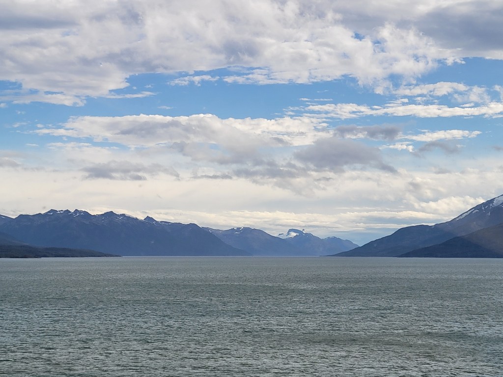
Ensenada Bay offers great views of Redonda Island, with the stunning Chilean islands of Navarino and Hoste as a backdrop. We traveled along a narrow and picturesque route with lots of wildlife, stopping to visit Roca Lake.
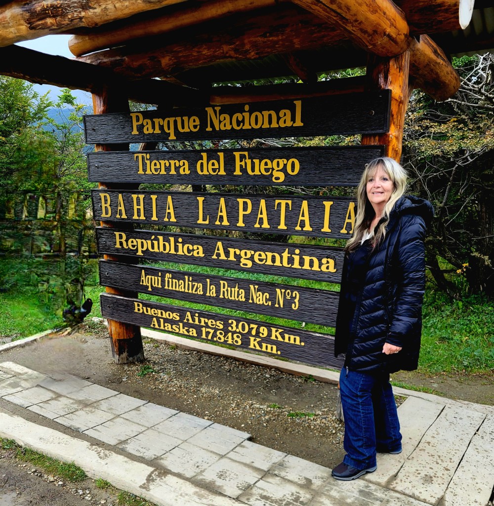
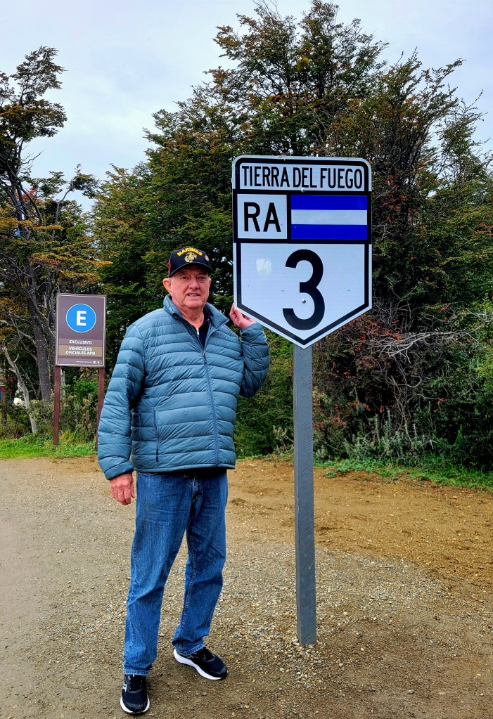
Finally, at La Pataia Bay, which means river bay of good trees, — the southernmost place in the world that can be reached by road. Indeed, this is where the famous Pan-American Highway ends. We truly were at the end of the road.
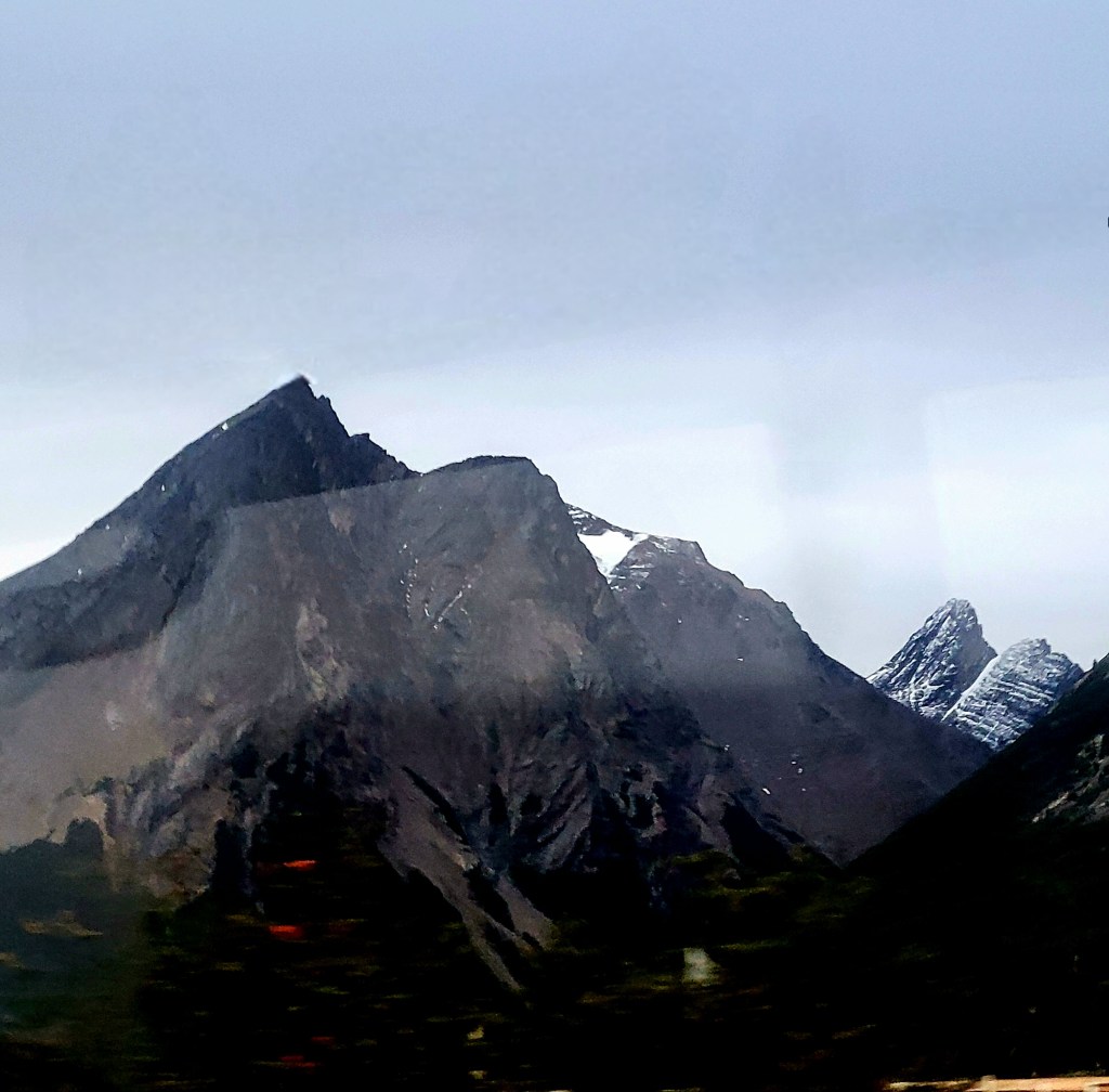
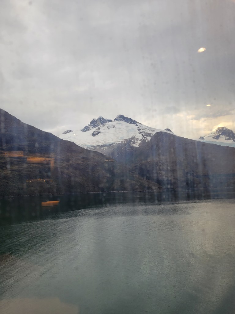
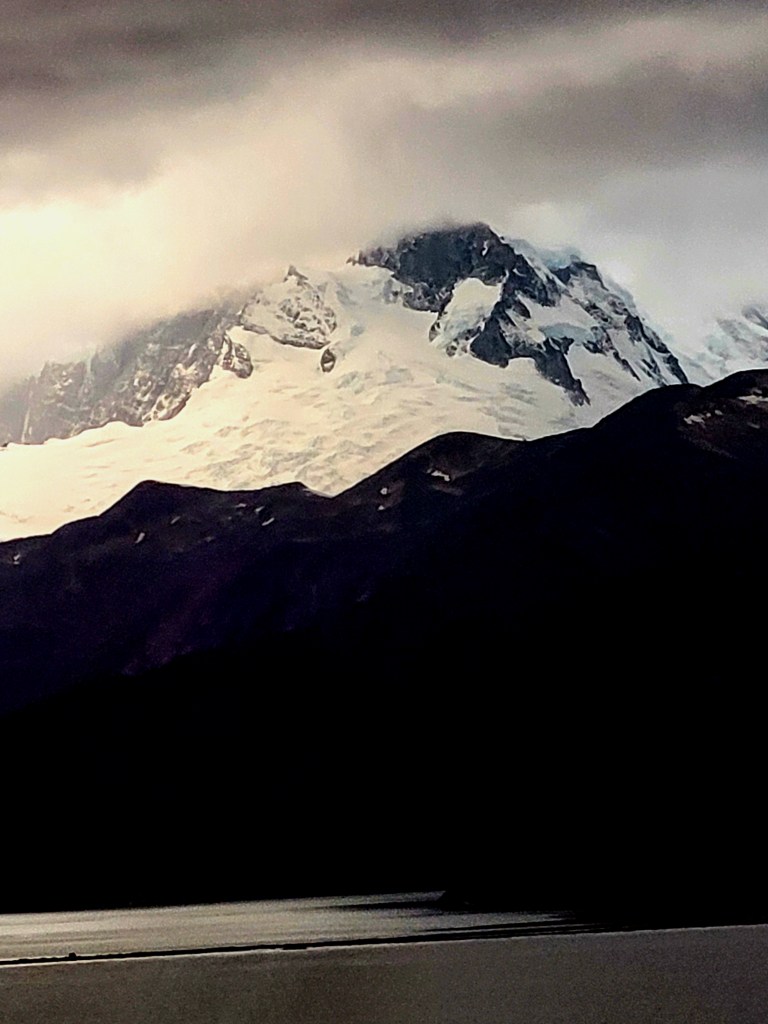
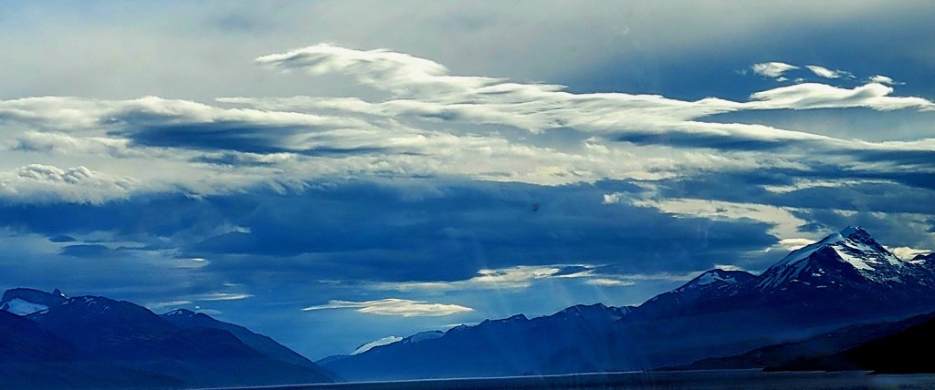
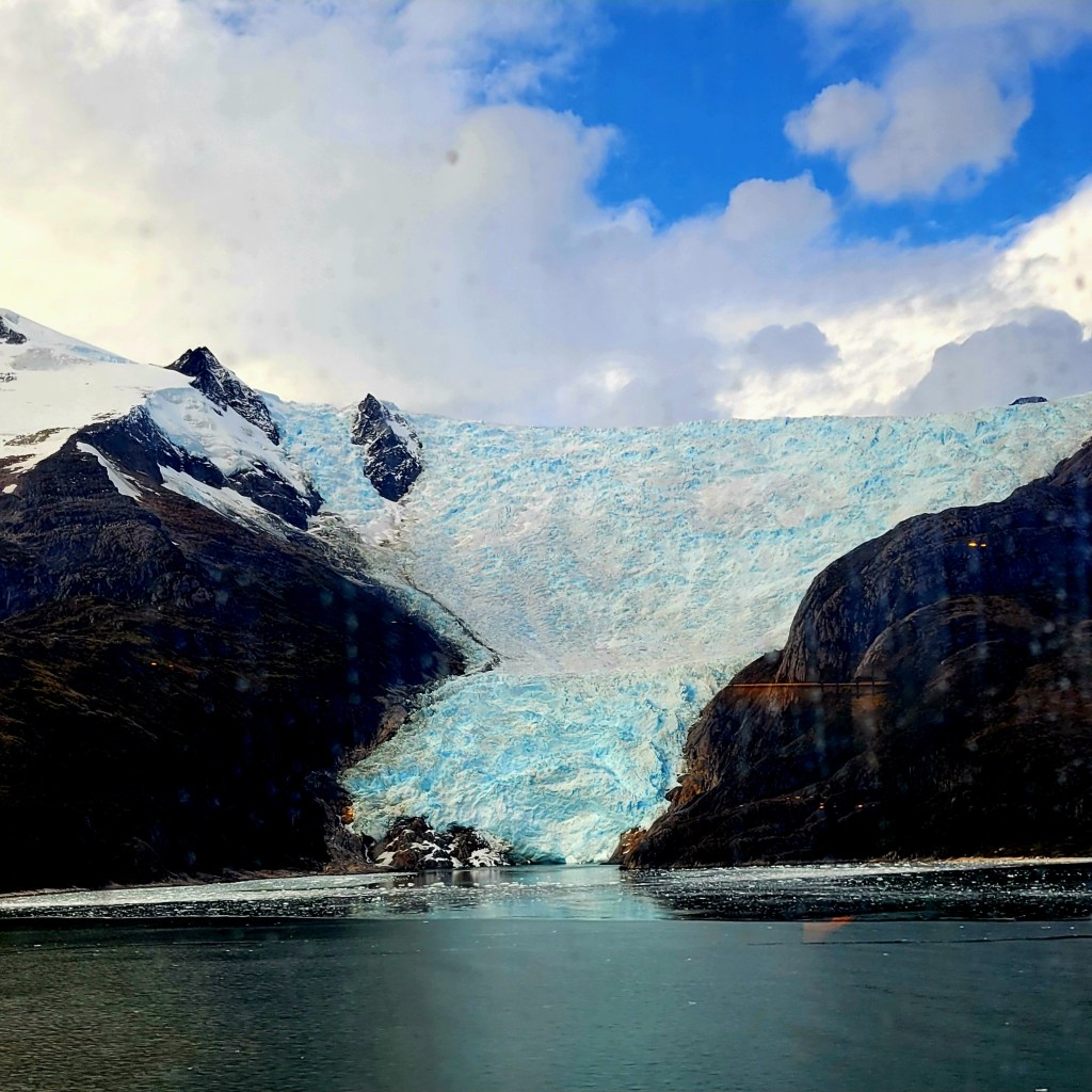
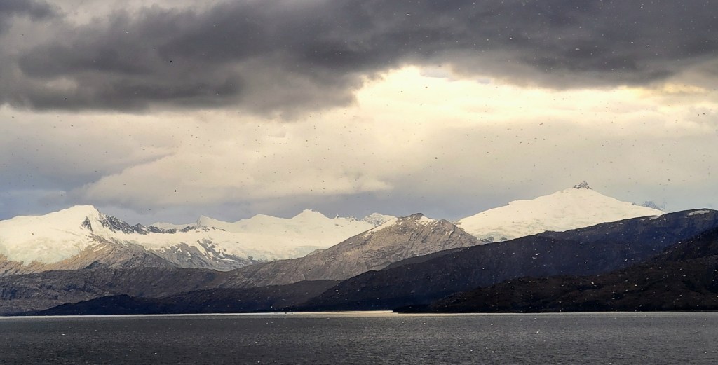
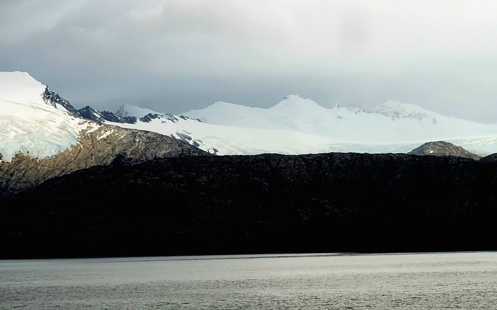
Beagle Channel, also known as Glacier Alley, trending east–west, is about 150 miles long and 3 to 8 miles wide; it separates the archipelago’s main island to the north from Navarino, Hoste, and other smaller islands to the south. At its western end the channel splits into two branches that encircle Isla Gordon. The eastern portion forms part of the Chile–Argentina border, while the western portion lies entirely within Chile. The Beagle Channel was named for the British ship Beagle, in which Charles Darwin explored the area (1833–34). Glacier Alley is a short stretch of Beagle Channel that showcases 5 tidewater glaciers, named after European countries. The channel is surrounded by the Darwin Mountain Range peaks and the breathtaking view of D`Aggostini National Park.


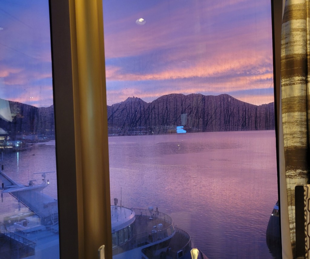
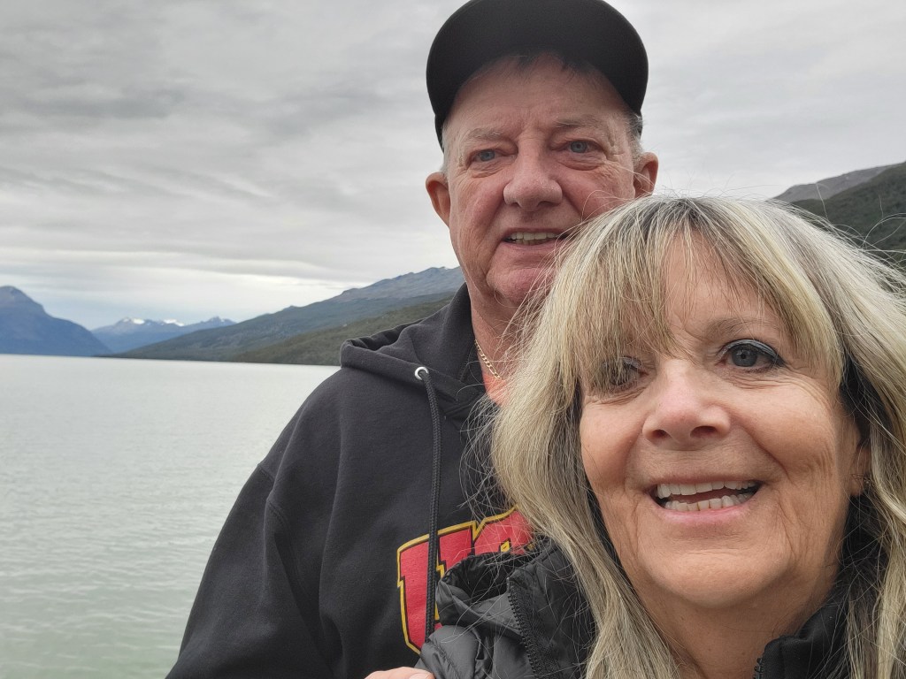


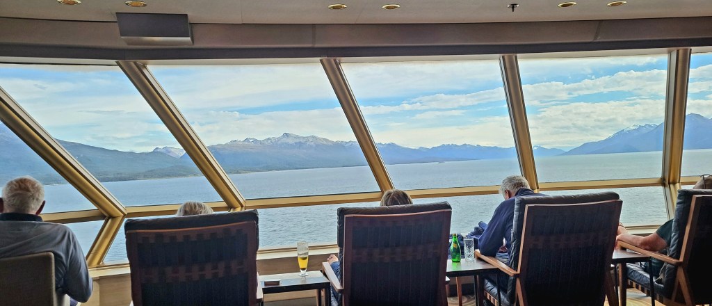
We are back on the ship and in the Observation Crow’s Nest to go through Glacier Alley. Some of the pictures aren’t clear, but I can assure the scenery was breathtakingly stunning.


Leave a comment